Start with a Free Quote Today
- Home
- FAQ
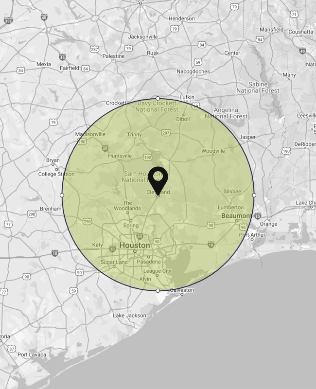
FAQ
A boundary survey defines the exact property lines based on recorded deeds, plats, and field measurements. It protects buyers and builders from encroaching on adjacent land, helps resolve disputes, and ensures proper fence or structure placement. Without this survey, even minor boundary errors can lead to legal issues down the road.
A topographic survey maps the natural and man-made features of a site, including elevation changes, trees, utilities, and drainage patterns. Engineers and architects use this information to design grading plans, stormwater systems, and building layouts. It’s especially valuable when planning drainage around low-lying areas or seasonal runoff in East Texas.
Construction surveying provides precise layout points and reference markers to guide crews during building, grading, and utility placement. It ensures that structures align with the design plans, property boundaries, and local code requirements. Field crews regularly check progress against these layouts to avoid costly rework.
A FEMA elevation certificate is typically required when a property lies within a flood zone. It documents your structure’s elevation in relation to the base flood elevation. Lenders and insurers use it to assess flood risk and determine insurance rates. If your home sits on a sloped lot or near creeks or drainage easements, this certificate is often necessary.
Drone mapping allows surveyors to capture high-resolution imagery and elevation data across large or difficult terrain. It significantly reduces time in the field and provides detailed visuals for analysis. This technology is especially useful in dense vegetation or areas where manual access is limited, such as rural parcels or construction zones.
Yes, lenders and title companies often require an ALTA survey during commercial real estate deals. It offers comprehensive data, including boundary lines, easements, encroachments, and improvements. The survey follows a standardized national format that allows all stakeholders to review the property with clarity and confidence.
Before building, a topographic survey helps engineers determine how the structure will interact with the landscape. It reveals slopes, low areas, and natural drainage that could affect the foundation. This is particularly useful in regions with clay-heavy soil or uneven terrain, where water runoff must be carefully managed.
Large projects like subdivisions, retail complexes, or utility networks rely on construction surveying to maintain alignment and accuracy across phases. Surveyors lay out roads, building pads, and infrastructure, ensuring everything matches approved plans. Ongoing checks help reduce delays, especially during weather-related disruptions common in southeast Texas.
They refer to the same document. A flood elevation certificate provides verified elevation data for a building in a flood zone. It supports decisions about flood insurance rates and compliance with local ordinances. It’s especially relevant for properties along rivers, retention ponds, or in FEMA-designated high-risk zones.
Yes, drone mapping supports construction planning by producing fast, high-resolution imagery and terrain models. This allows builders to visualize site conditions, identify grading challenges, and monitor progress from start to finish. It’s an efficient way to track materials and phases on scattered work zones.
An as-built survey records the actual locations of installed structures and utilities after construction is complete. It verifies compliance with approved plans and is often required by municipalities, developers, or project managers before final approvals. This documentation is vital in case of future repairs, additions, or property sales.
Local regulations often require a flood elevation certificate for development in mapped flood zones. It ensures the proposed structure meets elevation requirements to minimize flood risk. Homes built without this data could face higher insurance premiums or delayed permitting.
3D mapping creates digital surface models that allow planners and engineers to assess topography, calculate volumes, and simulate drainage flow. It supports precision in roadway design, erosion control, and infrastructure placement. In heavily wooded or uneven terrain, 3D models offer insight that traditional methods may miss.
Topography helps engineers design infrastructure that adapts to the landscape. Through a topographic survey, planners can design streets, lots, and utilities that follow the natural contours, minimizing earthwork and improving drainage. This reduces both costs and environmental impact during subdivision development.
Landowners should consider updating a boundary survey if they plan to subdivide, fence, or sell the property, or if neighboring landowners have changed boundaries. Over time, land use, road easements, and title records may evolve, and verifying updated boundaries helps prevent conflicts and mistakes in future projects.