Start with a Free Quote Today
- Home
- Tomball, TX
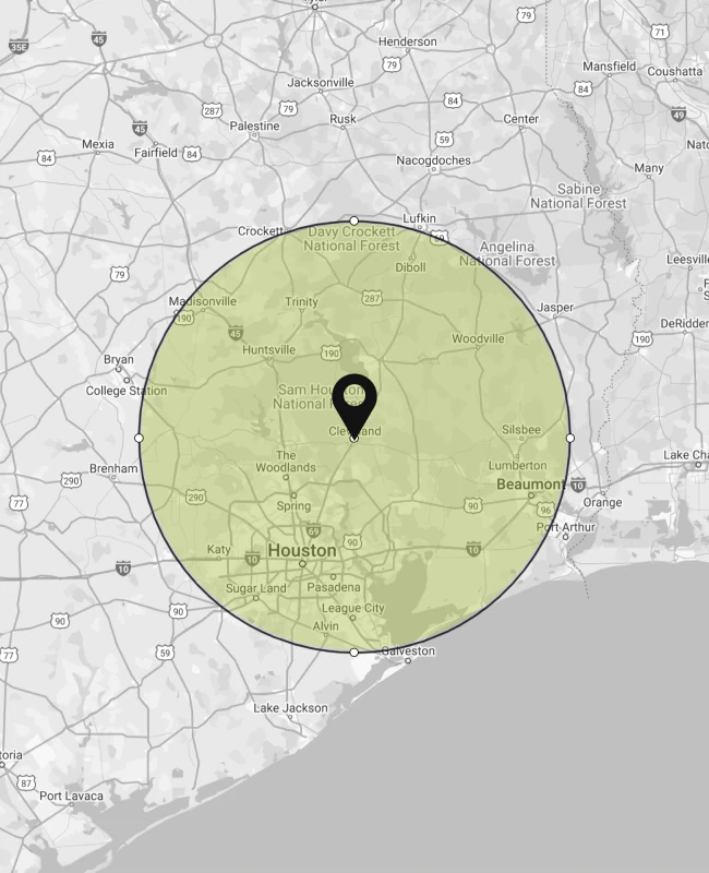
Tomball, TX
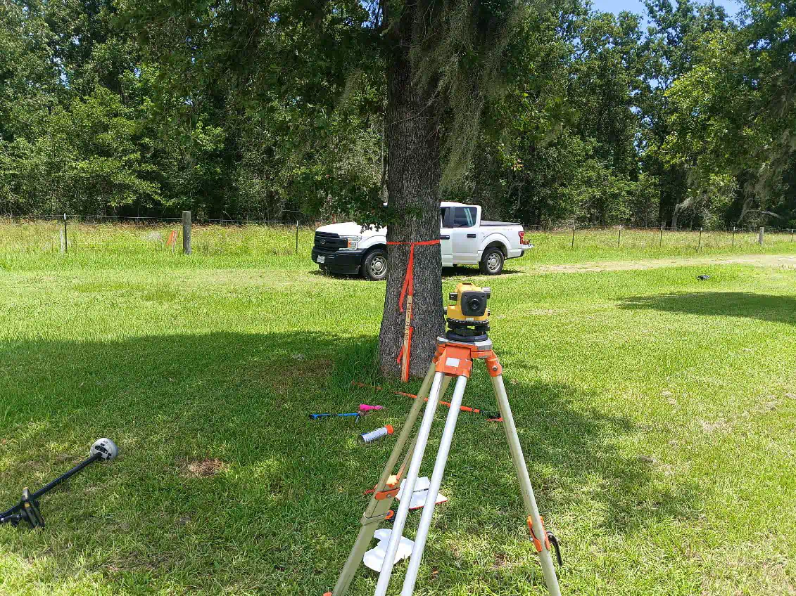
Our land surveying services include boundary surveys, mortgage surveys, and ALTA/NSPS surveys tailored to your specific needs. A boundary survey establishes the exact perimeter of your property, identifies encroachments, and locates easements that may affect future use. Mortgage surveys provide lenders with the documentation required to finalize financing. ALTA surveys offer the most detailed level of information, including improvements, utilities, access rights, and zoning classifications. Each type serves a distinct purpose, and selecting the appropriate option depends on your transaction timeline, lender requirements, and long-term property goals.
Topographic surveys document the natural and man-made features of a site, including elevation changes, drainage patterns, existing structures, and vegetation. Engineers and architects rely on this data to design grading plans, stormwater management systems, and site layouts that comply with local codes. In Tomball, where drainage design directly affects permitting approval, accurate topographic information prevents costly revisions and delays. Residential projects such as pools, driveways, and accessory buildings benefit from precise elevation data that ensures proper water flow and minimizes erosion risks.
Elevation certificates verify the height of a structure relative to base flood elevation, a critical factor in determining flood insurance premiums and eligibility. FEMA’s updated flood maps have reclassified portions of Tomball, and properties that were previously considered low-risk may now fall within special flood hazard areas. An elevation certificate prepared by a licensed surveyor provides the documentation necessary to challenge incorrect zone designations or qualify for reduced insurance rates. For homeowners refinancing or purchasing in flood-prone areas, this certificate often represents significant savings over the life of a mortgage.
Replat services modify existing lot configurations to accommodate property splits, lot consolidations, or easement adjustments. Tomball’s growing demand for infill development and lot divisions has increased the need for replats that meet city and county standards. The process involves preparing a legal description, coordinating with municipal planning departments, and ensuring compliance with setback and access requirements. Navigating this process requires familiarity with local ordinances and a clear understanding of how proposed changes affect adjacent properties and utilities.
Accuracy in surveying depends on both technology and methodology. Modern equipment including GPS receivers, total stations, and laser scanning instruments captures data with millimeter precision. However, tools alone do not guarantee reliable results. Proper calibration, systematic field procedures, and thorough research of deed records and plat maps ensure that measurements reflect legal boundaries rather than assumptions. Each project begins with a records search to identify historical markers, easements, and encumbrances that may not be visible on-site. This preparation minimizes surprises and provides a clear picture of property characteristics before fieldwork begins.
Timing plays an important role in project planning. Title companies typically require surveys within 30 days of closing, and lenders impose strict deadlines for elevation certificates and mortgage surveys. Scheduling early in the transaction process allows time for revisions if boundary discrepancies or zoning issues emerge. In Tomball’s competitive real estate market, delays in survey delivery can jeopardize closing dates and financing commitments. Proactive planning and clear communication help keep transactions on track and reduce stress for all parties involved.
Homeowners planning additions, fences, or outdoor structures benefit from confirming property lines before construction begins. Building on an adjacent lot or violating setback requirements can result in removal orders, legal disputes, and diminished property value. A boundary survey provides certainty and protects your investment by documenting exactly where improvements can be placed. This clarity proves especially valuable in older Tomball neighborhoods where fences and driveways may not align with actual property boundaries.
Our project gallery showcases completed surveys and documentation across a range of property types and site conditions. Reviewing examples of finished work provides insight into the level of detail and presentation quality you can expect. Each deliverable includes a sealed drawing, legal description, and supporting documentation formatted to meet industry standards and regulatory requirements.
Selecting a surveying partner involves evaluating qualifications, responsiveness, and local knowledge. Licensed professionals carry liability insurance and adhere to state board regulations that govern accuracy and ethical standards. Familiarity with Tomball’s permitting processes, subdivision regulations, and county procedures streamlines project completion and reduces the risk of rejected submissions. Clear communication throughout the process ensures that you understand what is being measured, why it matters, and how the results affect your plans.
Whether you require a simple lot survey for a fence permit or a detailed topographic analysis for a commercial development, the right documentation supports confident decision-making. Serving Tomball property owners with precise measurements and timely delivery, our practice focuses on accuracy, regulatory compliance, and customer clarity. For questions about specific survey types or to discuss your project requirements, visit our contact page or call (936) 513-7940 to speak with a member of our team. Additional information about our offerings is available on our services page, and answers to common questions can be found in our FAQ section.